Veerse Meer
Veerse Meer
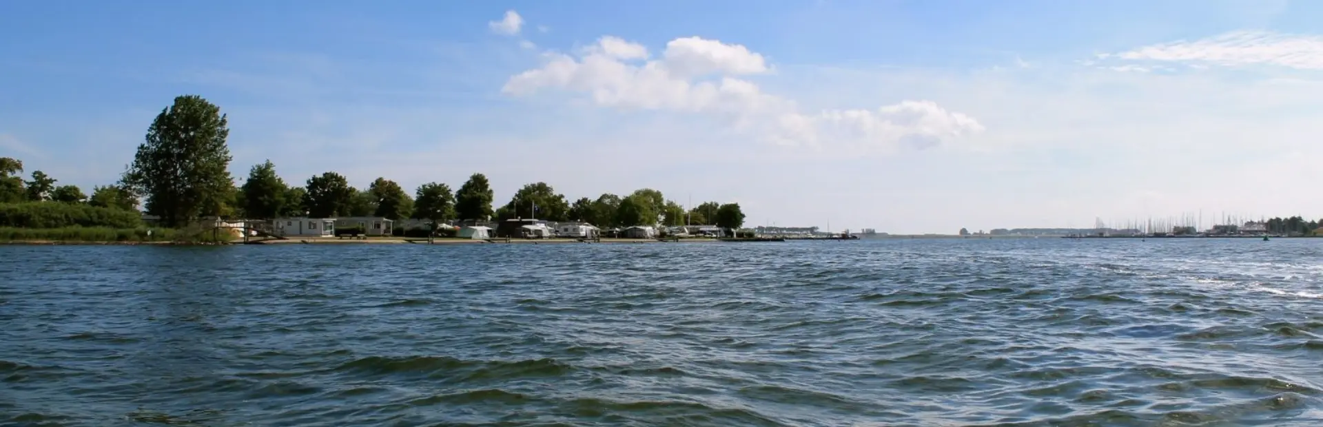
Lake 'Veerse Meer' borders Noord-Beveland on the north side and Zuid-Beveland and Walcheren on the south side. Before the Delta Works were constructed, lake 'Veerse Meer' was an estuary. Now the 'Veerse Dam' separates the lake in the west from the North Sea, while the 'Zandkreekdam' separates the lake from the 'Oosterschelde' at the height of Goes.
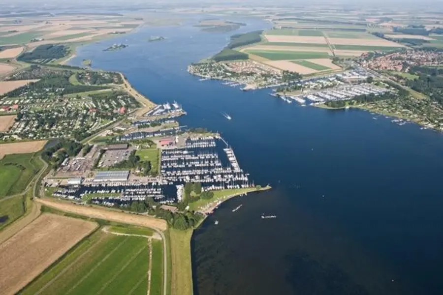
The arrangement and management of lake 'Veerse Meer' were concentrated on drainage from the beginning. During the summer the water level varies just under sea level. The water level is adjusted by letting in water from the 'Oosterschelde' by means of a 'fill' in the 'Zandkreekdam' and mix it with the brackish water from lake 'Veerse Meer'.
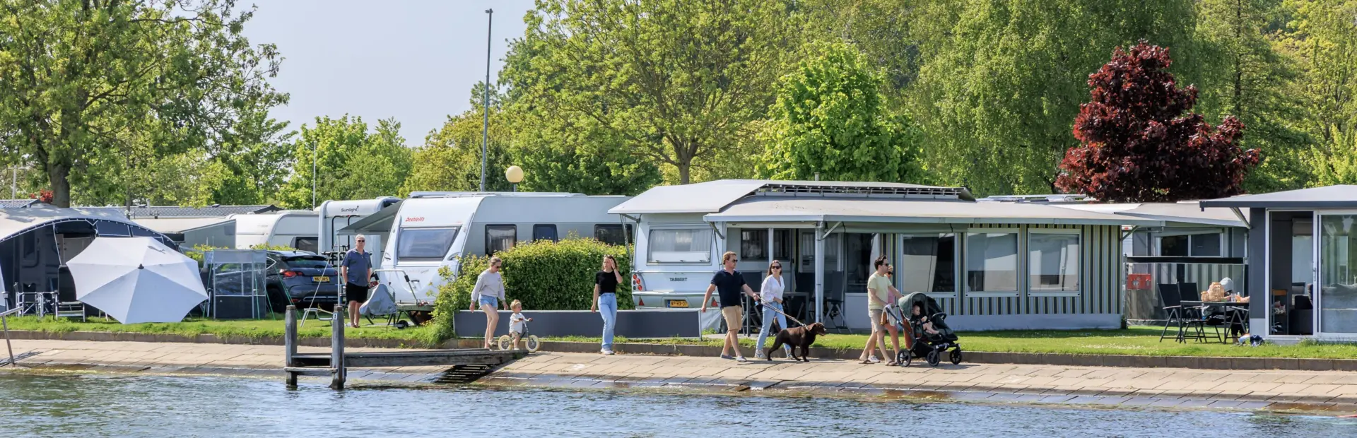
The waterlevel of lake 'Veerse Meer' is regulated to improve the habitat for plants and animals and to lengthen the recreational season. A higher water level means a bigger and deeper 'Veerse Meer' for recreational use. During winter, when the water level is lowered, it's easier to have the sluices pump the superfluous (rain)water to lake 'Veerse Meer' and the farmlands can be worked on better. Visitors paying attention will notice that the water level rises and falls a little during low and high tide.
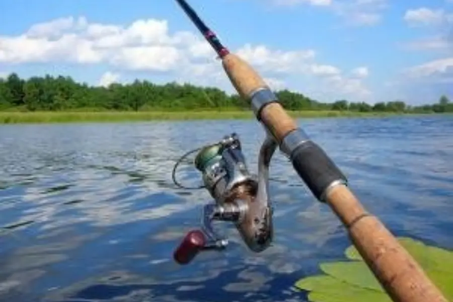
Fishing
Both lake 'Veerse Meer' and 'Oosterschelde' are perfect spots for the fishing lovers. To be able to fish in lake 'Veerse Meer' you'll need a fishing permit from the Federation of fishing clubs Zuidwest Nederland, available in week permits at the Tourist Information (VVV). Fishing from 'Oosterschelde' and North Sea is free.